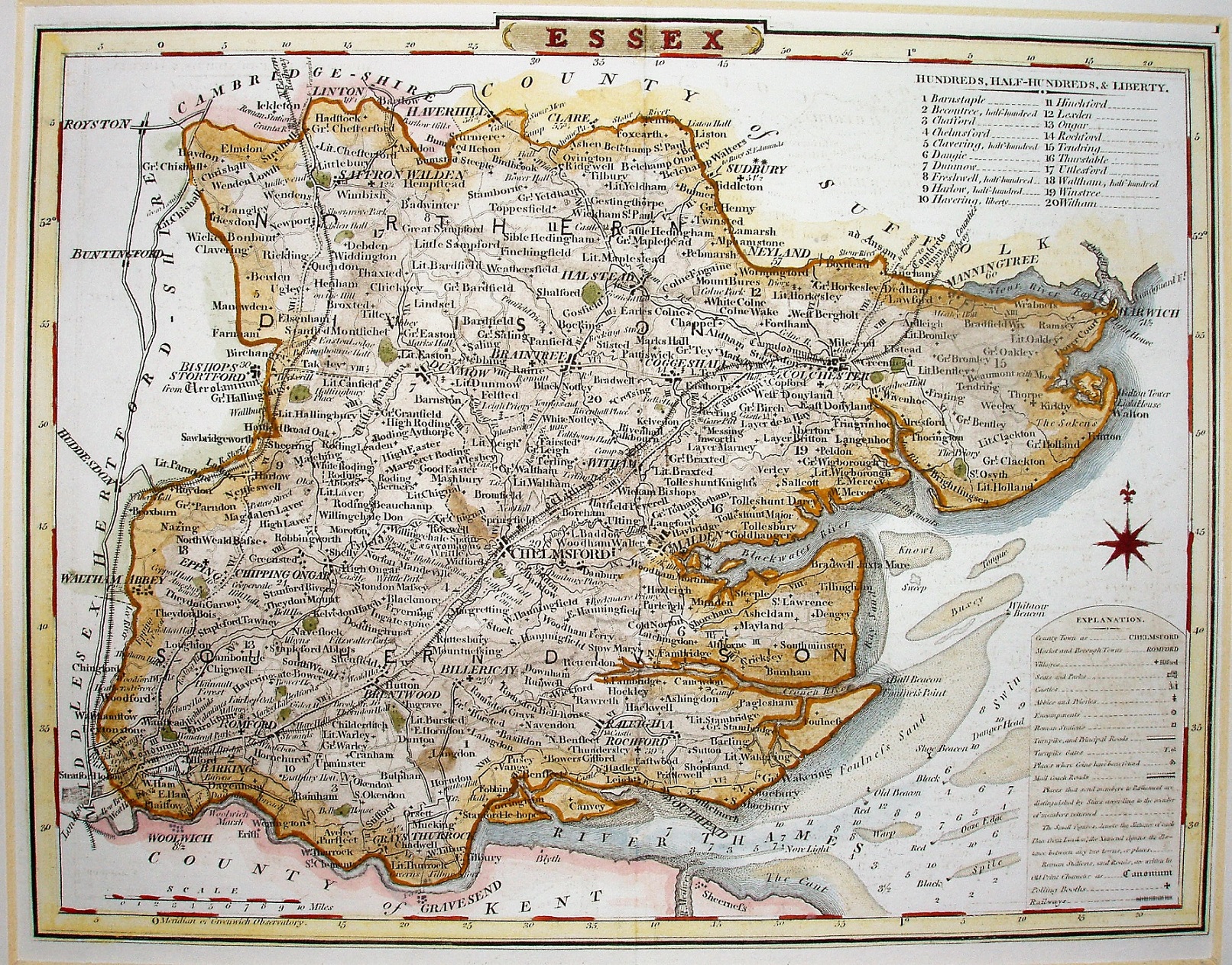
Dugdale's Curiosities of Great Britain, England and Wales Delineated
Still using the Cole & Roper map, with projected railways into Cambridgeshire and Suffolk (opened 1845 and 1846 respectively); the same map as in the original 1835 Dugdale, but this one is probably from the 1838 edition.
Scale correct at 1+10 miles = 37mm, or 7.6 miles/inch, ie 1:485,000.
Later editions use Archer maps.