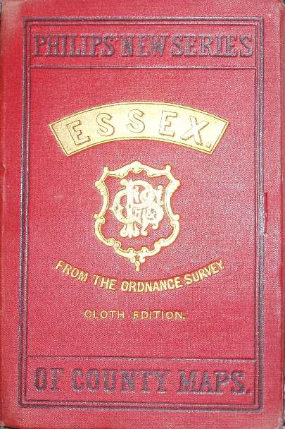
Philips' New Series of County Maps Essex
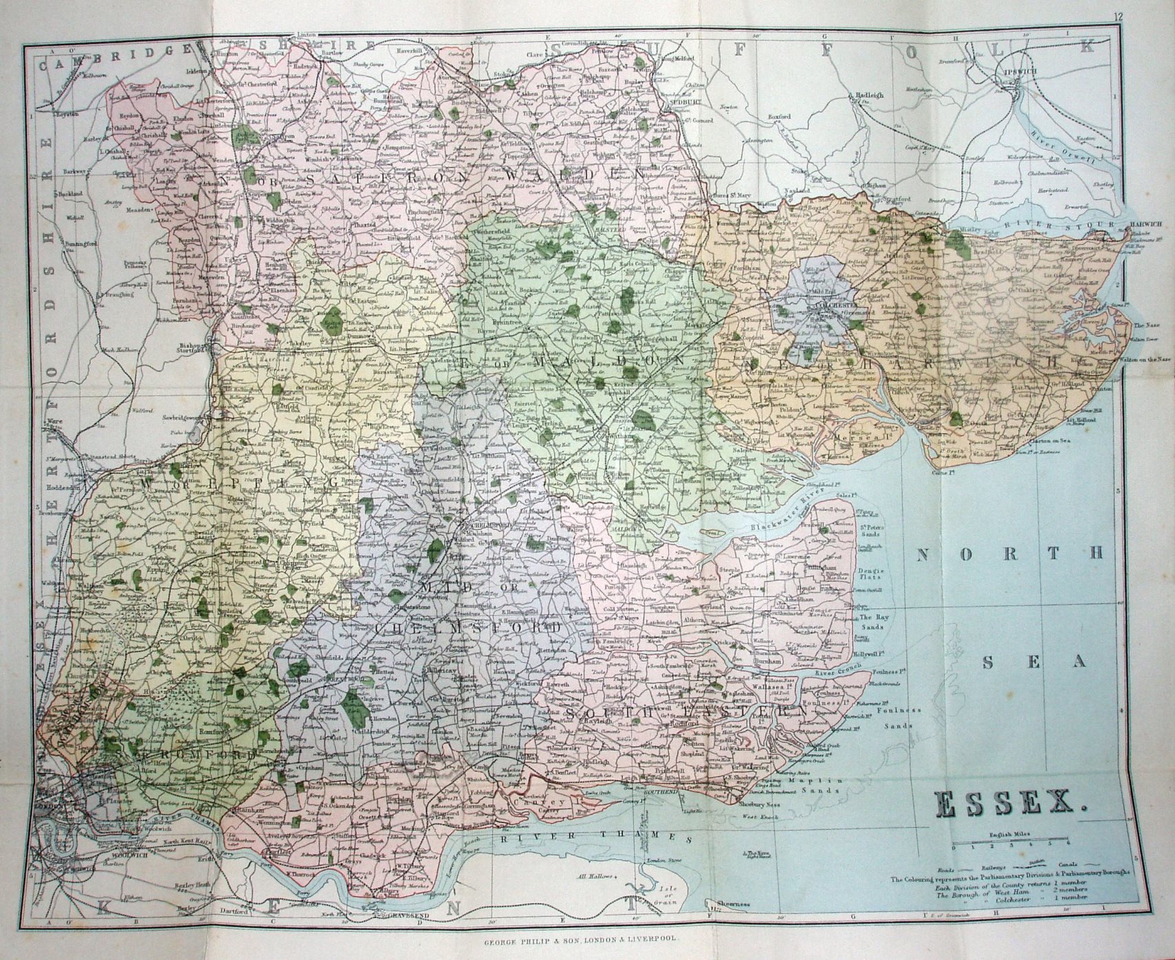
Back to the standard large atlas map - and this is a duplicate of the 1885 flat map from the Atlas of the Counties of England; it shows the new Parliamentary Divisions but nothing relevant to cyclists, such as highlighted roads or any symbols.
Advert for Philips' Popular Series of County Maps inside the cover More details on Philips's maps are on the Publisher's page..
Scale correct at 6 miles = 43.5mm, or 3.5 miles/inch, ie 1:225,000.
Addresses: 32 Fleet Street London, and 49 to 51 South Castle Street Liverpool.
The railways include Barking to Upminster (opened 1885) but not Upminster to Laindon (opened 1886).