- with varying names:
J Bartholomew
John Bartholomew FRGS
John Bartholomew & Co
John Bartholomew & Sons Ltd
The table below lists maps of Essex in approximately chronological order, taken from Bartholomew's Atlases and individual County Maps. John Bartholomew set up in business in 1826, creating maps for several firms which they published under their names. His son, also a John, joined the firm in 1860, when the name became John Bartholomew & Son; John George, son of John(2), succeeded his fathr as head of the firm in 1888.
The dimensions against each cover and each map are Height x Width; for the maps, the measurements are of the outermost neat line of the map (not the size of the sheet of paper).
As a firm it initially made maps that were published (as well as printed) by others, but then started to print and publish its own very successful half-inch (and quarter-inch) series of folding maps from 1897 and own atlases from 1898. The colours on the dimensions below group maps of essentially the same scale together.
The following is an approximate sequence of the county maps, based on David Smith's Victorian Maps of the British Isles (1985) which covers up to 1900, RA Carroll's The Printed Maps of Lincolnshire 1576-1900 (1996), plus the Atlases and maps at CUL and my own collection of maps of Essex.
| Date | Title(s) | Approximate Dimensions |
Notes |
|---|---|---|---|
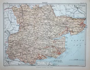
| 1878 | Encyclopaedia Britannica, 9th edition |
184 x 243mm | The county maps were created by Bartholomews, volume 8 containing Essex being first published in 1878 by A&C Black; the Bartholomew imprint was removed when the Encyclopaedia was republished in 1892 by W & AK Johnston. |
| 1892 | Black's Handy Atlas of England & Wales |
175 x 245mm | Same underlying map, but very differently coloured. Several editions to 1884. |
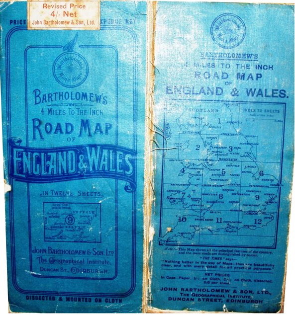
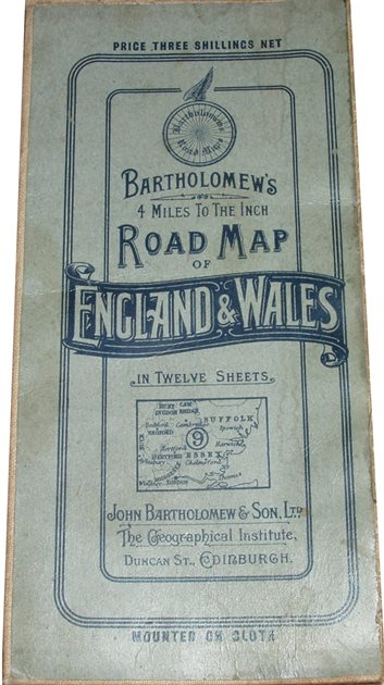
| 1897 | Road Map of England & Wales |
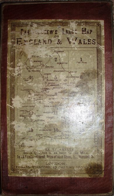
505 x 710mm | Quarter inch maps of England and Wales in 12 sheets. |
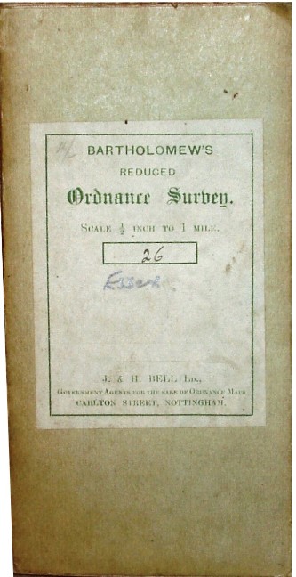
| 1897 | Bartholomew's Reduced Survey |
520 x 725mm | First series of half-inch folding maps for England and Wales; replaced in 1904. |
| 1898 | Citizen's Atlas of the World |
413 x 319mm | 120 pages of maps & plans, some being UK sectional maps at 10 miles to an inch. New editions in 1901, 1912 (156 pages), 1924 (192 pages), 1935 (192 pages), 1939 (192 pages), 1942, 1947 and 1952. |
| 1899 | The Royal Atlas of England and Wales |
323 x 422mm | Sectional maps at 4 miles to an inch. |
| 1903 | The Survey Atlas of England and Wales |
417 x 536mm | Sectional maps at 2 miles to an inch. New edition in 1939 (and others?). |
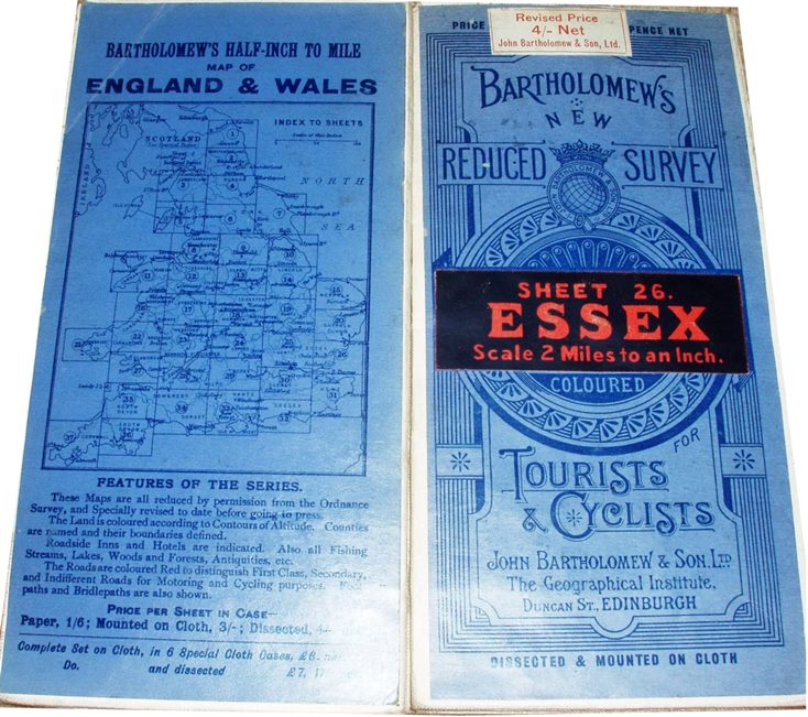
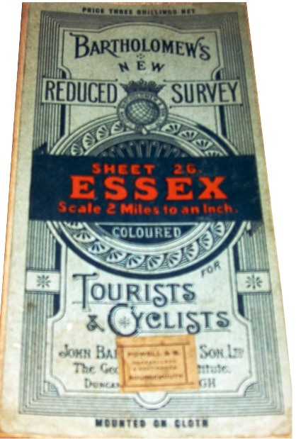
| 1904 | Bartholomew's New Reduced Survey |
520 x 725mm | Second series of half-inch folding maps for England and Wales in 37 sheets; replaced in 1924. |
| 1919 | The Handy Touring Atlas of the British Isles |
135 x 87mm | 10 miles to an inch glovebox atlas. |
| 1924 | Bartholomew's Revised Half-Inch to Mile for Motorists & Cyclists |
520 x 725mm | Third series of half inch folding maps; replaced in 1926. |
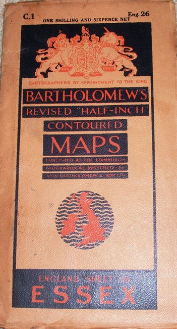
| 1926 | Bartholomew's Revised Half-Inch Contoured Maps |
520 x 725mm | Fourth series of half inch folding maps; replaced in 1936. |
| 1929 | The AA | 420 x 720mm | Quarter inch maps of Great Britain, in 23 sheets; there are also RAC maps. |
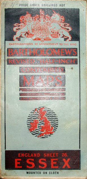
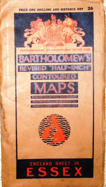
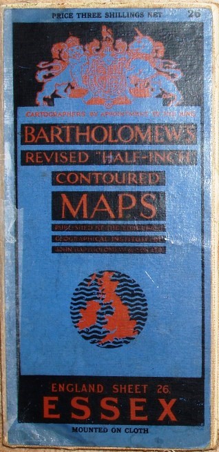
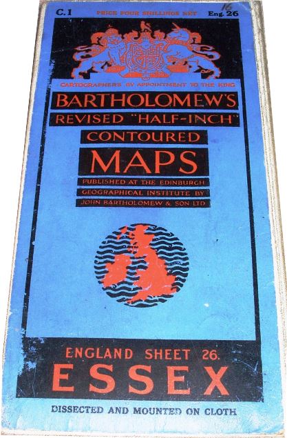
| 1936 | Bartholomew's Revised "Half-Inch" Contoured Maps |
530 x 815mm | Fifth series of half inch folding maps, for the first time being a single series for the UK rather than just England & Wales, in 62 sheets; replaced in 1963. |
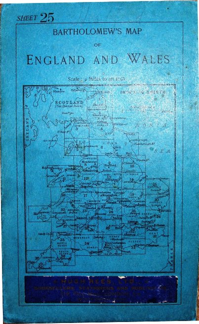
Bartholomew's Sheet 25 Bedford
Hertford, 1904-1912
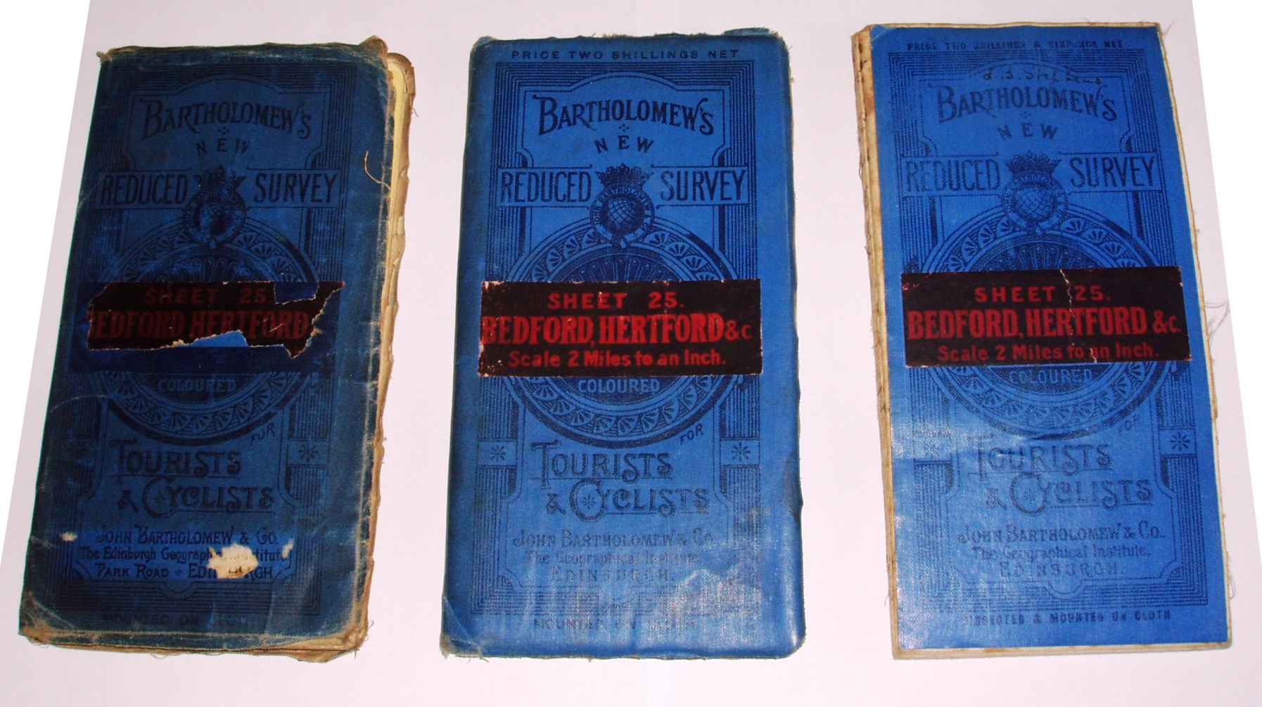
176 x 109mm for 596 x 730mm
Bartholomew's Sheet 25 Bedford
Hertford, 1910 (Stanford)
176 x 109mm for 596 x 730mm
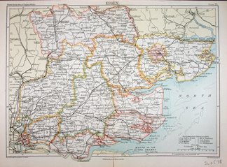
Bartholomew's Sheet 26 Essex
1910 (Stanford)
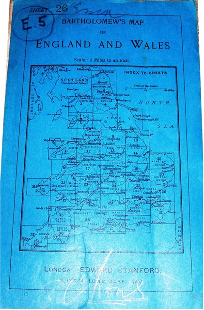
176 x 110mm for 519 x 730mm
Bartholomew's Sheet 26 Essex
1912
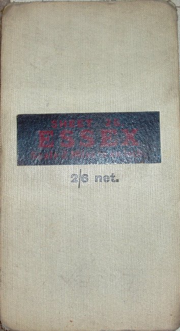
182 x 101mm for 520 x 723mm
Bartholomew's Sheet 26 Essex,
1914
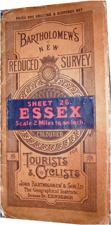
198 x 101mm for 519 x 723mm
Bartholomew's Sheet 26 Essex,
1914
193 x 96mm for 520 x 734mm
Bartholomew's Sheet 26 Essex
1920
189 x 96mm for 516 x 727mm
Bartholomew's Sheet 26 Essex
1920
192 x 97mm for 516 x 727mm
Bartholomew's Sheet 26 Essex
1920

200 x 98mm for 522 x 740mm
Bartholomew's Sheet 26 Essex
1929
190 x 95mm for 523 x 718mm
Bartholomew's Sheet 26 Essex
1934
202 x 108mm for 512 x 722mm
Bartholomew's Sheet 26 Essex
1934
189 x 95mm for 519 x 718mm
Bartholomew's Sheet 26 Essex
1936
195 x 97mm for 536 x 826mm
Bartholomew's Sheet 26 Essex
1939
201 x 110mm for 528 x 811mm
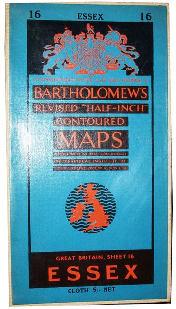
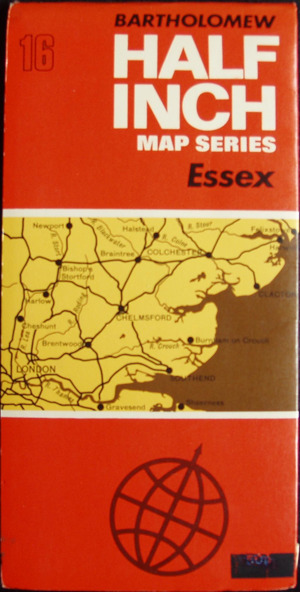
Bartholomew's Sheet 16 Essex
1939
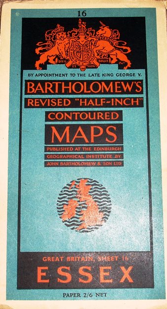
197 x 109mm for 529 x 813mm
Bartholomew's Sheet 16/26
1944
193 x 96mm for 535 x 803mm
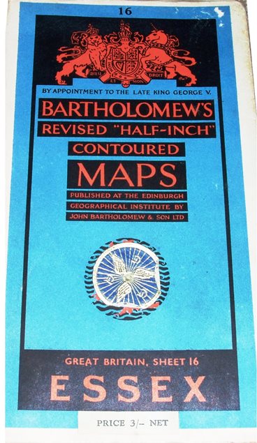
Bartholomew's Sheet 16 Essex
1946
191 x 94mm for 531 x 803mm
Bartholomew's Sheet 16 Essex
1951
196 x 110mm for 525 x 808mm
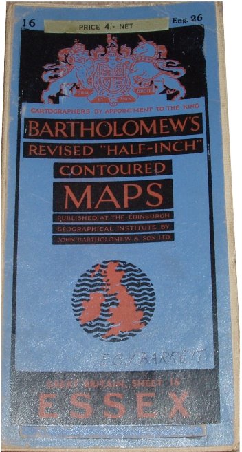
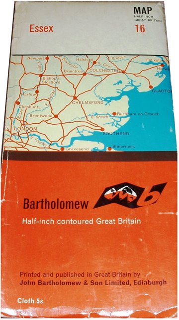
Bartholomew's Sheet 16 Essex
1957
197 x 107mm for 520 x 800mm
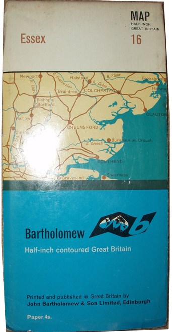
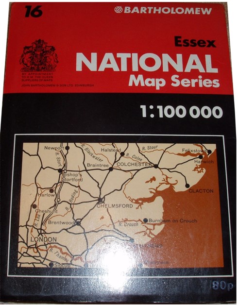
Bartholomew's Sheet 16 Essex
1964
220 x 109mm for 522 x 806mm
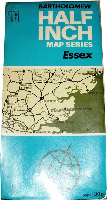
Bartholomew's Sheet 16 Essex
1967
220 x 109mm for 520 x 800mm
Bartholomew's Sheet 16 Essex
1970
220 x 109mm for 520 x 800mm
Bartholomew's Sheet 16 Essex
1973
220 x 109mm for 524 x 806mm
Bartholomew's Sheet 16 Essex
1975
187 x 140mm for 646 x 1007mm
Bartholomew's Sheet 16 Essex
1990
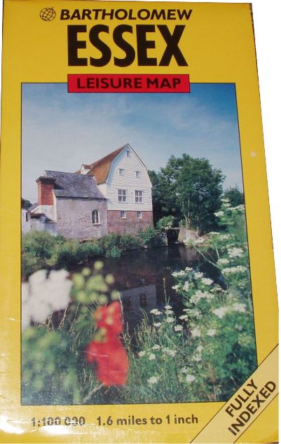
239 x 138mm for 652 x 1007mm
There is much more information on the genealogy of the Half Inch maps on the Bartholomew dating page.
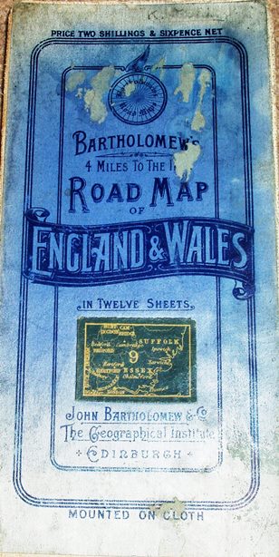
4 miles to the Inch, Sheet 9 4 miles to the Inch, Sheet 9 4 miles to the Inch, Sheet 9 4 miles to the Inch, Sheet 9
1911 1913 1913 1913
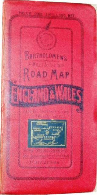
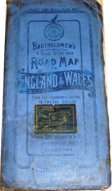
187 x 93mm for 503 x 713mm 189 x 97mm for 504 x 712mm 190 x 93mm for 507 x 711mm 190 x 93mm for 507 x 711mm
4 miles to the Inch, Sheet 9 4 miles to the Inch, Sheet 9
1919 1929
187 x 85mm for 513 x 725mm 189 x 94mm for 513 x 703mm
Grand Touring Series, East Anglia East Anglia & SE England
1973 1990
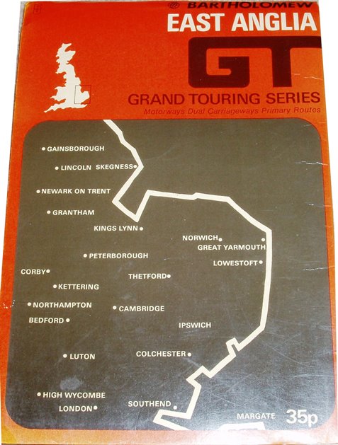
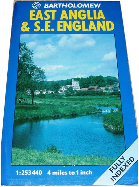
198 x 133mm for 965 x 742mm 236 x 139mm for 990 x 759mm
WH Smith Quarter Inch London
1882
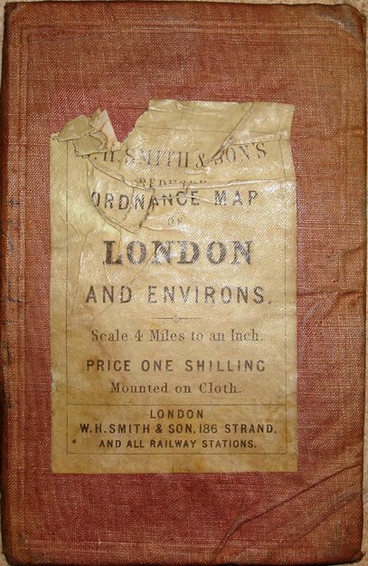
159 x 104mm for 344 x 462mm
WH Smith Quarter Inch, Sheet 9
1883
167 x 107mm for 337 x 482mm
WH Smith Quarter Inch, Sheet 9
1886
161 x 102mm for 339 x 480mm
WH Smith Quarter Inch, Sheet 9
1898
160 x 130mm for 337 x 482mm
WH Smith Quarter Inch, Sheet 9
1899
173 x 102mm for 503 x 710mm
Stanford Quarter Inch, Sheet 12
1888
178 x 103mm for 479 x 693mm
Addresses:
Taken from British Map Engravers, Worms & Baynton-Williams, and from Cartography.org.uk
International Map Collectors' Society Journals
There have been three articles on Bartholomew maps in the IMCoS Journals: Issue 75 (Winter 1998), pp 23-31; Issue 76 (Spring 1999), pp 37-47; and Issue 77 (Summer 1999), pp 62-63. These can be read on the Journal page of the www.imcos.org website if you are a member of IMCoS; non-members can only read the contents pages of the Journals - a good reason to join!
Return to the Map publishers main page.