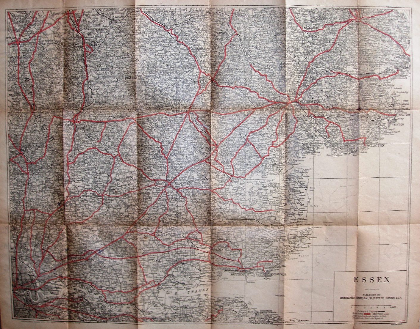
The New Road Map of Essex
Unlike in 1921/22, the map now has a very plain dull pink cover with no picture, Price 3D Net (on Cloth 1/- Net). Inside the front cover is an advert for A Selection of Geographia's Up-to-date Plans, Maps & Guides - mostly 1/- or 1/6 or 2/- Paper, 3/6 or 4/- Cloth & 5/- Dissected; the back cover is blank.
Scale correct at 6 miles = 52.5mm, or 2.9 miles/inch, ie 1:185,000.
"Arterial and principal" roads are in red (unnumbered); the cover claims to show the "New Southend Road", but it has been added to the existing map as an overlay, with no junctions (ie it was still in construction/ planned). There is still no Rainham bypass (opened 1924) or Thaxted branch line (opened 1913).
The map is published by Geographia (1923) Ltd, 55 Fleet Street (on both the map and the cover).