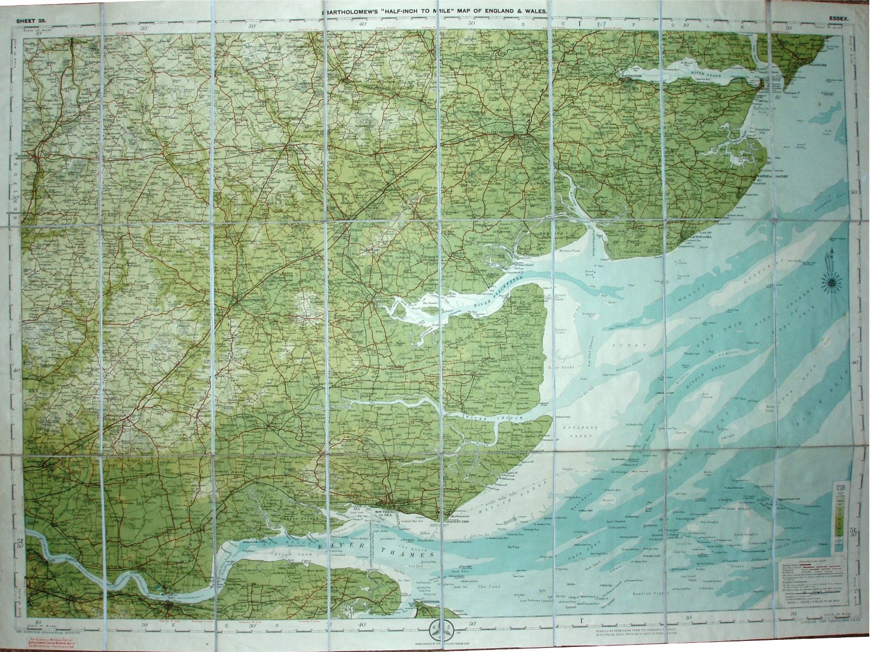
Sheet 26 - Bartholomew's "Half Inch to Mile" Map of England & Wales - Essex
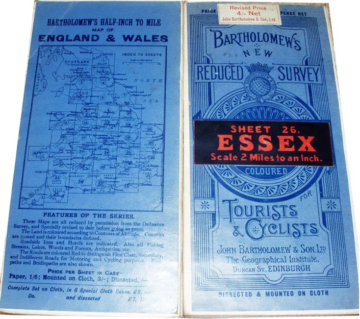
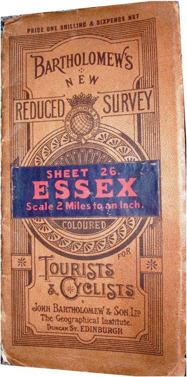
The standard cover design, and some in brown but more commonly in blue, for the Bartholomew's "New Reduced Survey for Tourists and Cyclists", Sheet 26 Essex.
Explanatory note in the bottom right corner that defines Through Route, First Class, Secondary (Good) and Indifferent (Passable) classes of roads.
More details on Bartholomew's maps are on the Publisher's page.
Scale of 10 miles = 127.1mm, or 2.0 miles/inch, ie 1:126,720.
Roads specially revised for Touring Cyclists. John Bartholomew & Co.
The railway lines now include the Thaxted branch (opened 1914).
The blue cover has a revised price of 4/- stuck over pre-printed 3/6 price. Map has code A14, ie printed first half of 1914. An advert in the blue map cover refers to prices of 1/6; 3/- ; 4/- - which started in 1920, so the map could have been published a long time after the map was printed.