- Home
- Introduction
- Mapmakers
- County Maps
- Map publishers
- Road Maps
- Dealers
- Libs & Socs
- Cartobibliogs
- Books
- Dating maps
- Parliamentary
- Railways
- Sundry
- Revisions
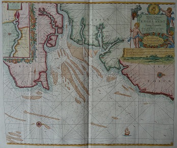
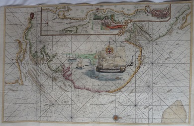
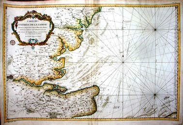
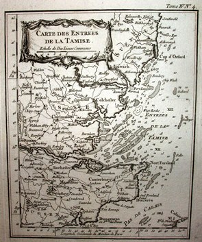
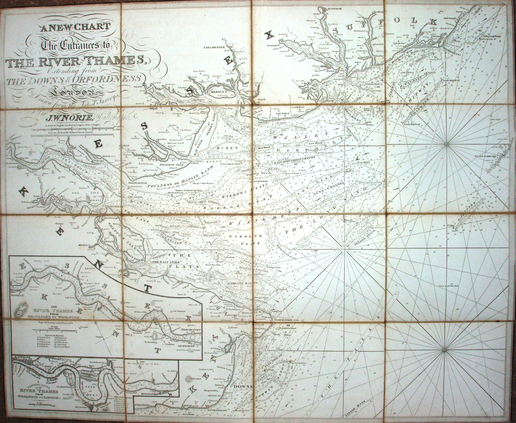
The table below lists coastal maps of Essex in approximately chronological order; these are taken from Atlases, or in a few cases were published as maps of Essex alone. There is a link from each entry to a large picture.
The dimensions against each map are Height x Width. The measurements are of the outermost neat line of the map (not the size of the sheet of paper).
Return to the page of various topics