The table below lists Regional maps, ie ones that deliberately have one or more counties shown in addition to Essex (and not that simply have some continuation into neighbouring counties within the sheet of paper), in approximately chronological order. There is a link from each entry to a large picture.
The dimensions against each map are Height x Width. The measurements are of the outermost neat line of the map (not the size of the sheet of paper).
| Thumbnail maps |
Mapmakers, their Atlases and Maps |
 |
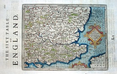
Gerald Mercator
Atlas sive Cosmographicae
1595 365mm x 465mm
Lat & long - but London at 20o40' east |
 |
Gerald Mercator, J Hondius & Jansson
Atlas Minor
1633 147mm x 203mm
SE England in French edition. Lat & long - but London at 33o east. |
 |
Gerald Mercator, J Hondius & Jansson
Historia Mundi, or Mercator's Atlas
1635 139mm x 180mm
SE England in English atlas. Lat & long - but London at 20o45' east. |
 |
Gerald Mercator, J Hondius & Jansson
Atlas sive Cosmographicae - the revised version by Hondius
1636 366mm x 467mm
Lat & long - but London at 20o40' east. |
 |
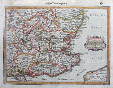
Bertius
Camden's Britannia
1639 96mm x 135mm
An even smaller eastern region map based on the Mercator maps. |
 |
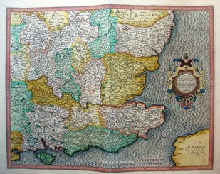
J Sanson
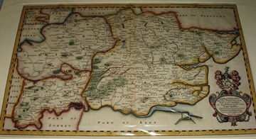
Anciens Royaumes de Kent, d'Essex et de Sussex
1654 367mm x 476mm.
London at c.20o37' east. Three scales, d'Angleterre of 24mls = 63mm. |
 |
T Jenner
The Kingdom of England and Wales (ie "The Quartermasters' Map")
1671 496mm x 644mm
Reputedly used by the armies during the Civil War. |
 |
Newcourt
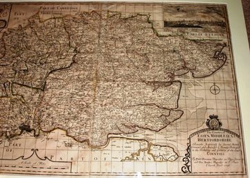
Dioeces Londinensis
1710 285mm x 464mm
Essex, Herts and Middlesex. No hundreds, but Deaneries shown. |
 |
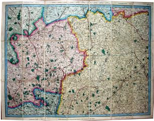
Overton
Reduced scale copy of Warburton's 1725 map
1726 597mm x 947mm
Half size copy of Warburton, but still 2.4 miles to an inch. |
 |
FJJ von Reilly
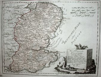
Des Konigreichs England
1789 215mm x 281mm
Deutshes Meer oder Nord See. |
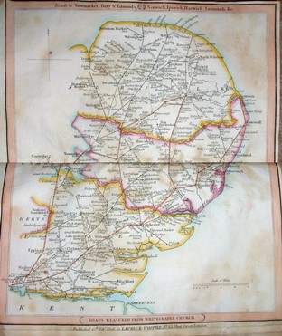 |
RH Whittle
New Traveller's Companion
1806 307mm x 255mm
More a road atlas than a "map". |
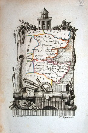 |
AM Perrot
Description Hist. et Topographique
1823 61mm x 48mm
The smallest "county" map of Essex. |
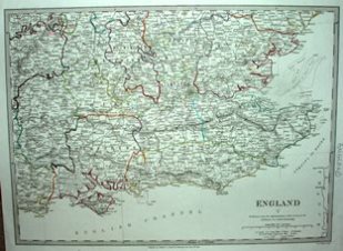 |
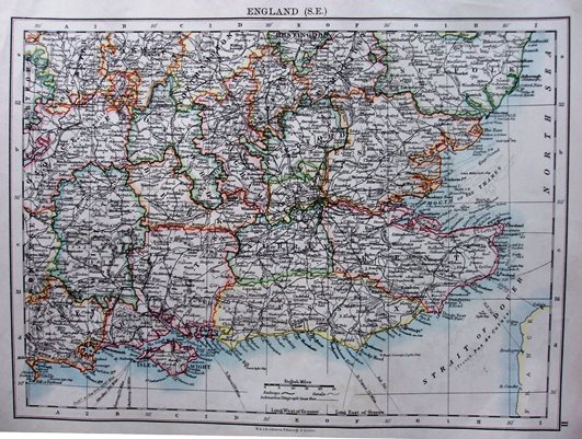
Society for the Diffusion of Useful Knowledge (SDUK)
England V
1830 268mm x 370mm
A regional map, with coloured county borders. |
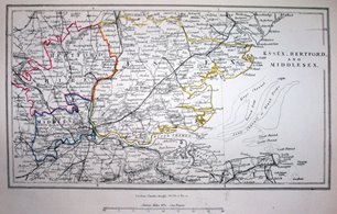 |
C Knight
Essex, Hertfordshire & Middlesex
1852 131mm x 231mm
Colourful county edge-colouring, but not much else. |
 |
GF Cruchley
Cruchley's Reduced Ordnance Map of England and Wales
1865 501mm x 662mm
Cary's old plates live on under a new publisher. |
 |
J & S Virtue
Universal Geography
1880 202mm x 290mm
From one of the 38 volumes of this part work. |
 |
Dulau
Through Guide Series: Eastern Counties (1st edition)
1883 147mm x variable width
Bartholomew maps in a guide book. |
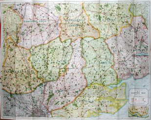 |
AH Swiss
Hunting Map No. 12.
1895 769mm x 983mm
One hundred year old plates live on under yet another publisher. |
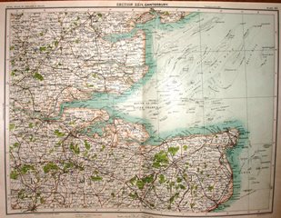 |
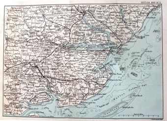
J Bartholomew
Royal Atlas of England & Wales
1897 321mm x 424mm
Part of Essex and Kent, as a sectional UK map. |
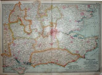 |
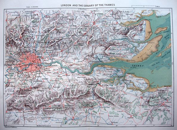
Encyclopaedia Britannia Company
10th Edition
1902 266mm x 382mm
Less importance for counties than in the 9th edition. |
 |
W & AK Johnston
World-Wide Atlas
1905 199mm x 270mm
Regional maps added to 7th edition of Atlas. |
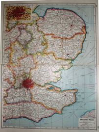 |
Harmsworth
Harmsworth's New Atlas
1920 430mm x 322mm
Even in 1920 someone was proposing more railways. |